
For general earthquake action steps — what to do in the first 10 seconds, intensity scale, indoor vs outdoor — see the Japan Earthquake Safety Guide. This post covers Osaka-specific risks and what to do at the city's most popular tourist spots.
Why Osaka is fundamentally different from Tokyo
Tokyo's biggest earthquake threat is a direct-hit quake beneath the city. Osaka's threat is different: the Nankai Trough (南海トラフ).
The Nankai Trough is a submarine fault running from south of Shikoku Island to Osaka Bay. Japan's government officially puts the probability of an M8–9 earthquake here at 70–80% within the next 30 years — a scale comparable to the 2011 Tohoku earthquake (M9.0).
Osaka Prefecture's worst-case damage simulation:
- Tsunami inundation along Osaka Bay coastal areas
- Up to 130,000 deaths prefecture-wide (extreme scenario: overnight, no evacuation)
- Widespread building damage and fires
This is the absolute worst case — assuming zero evacuation and the worst possible timing. People who know what to do and move immediately can dramatically reduce personal risk.
The critical fact: Osaka has time
The most important thing for Osaka travellers to understand: you have roughly 90–120 minutes before a Nankai Trough tsunami reaches central Osaka.
| Location | Estimated tsunami arrival (Nankai Trough) |
|---|---|
| Kochi coast (Shikoku) | **3–5 minutes** |
| Wakayama coast | **10–20 minutes** |
| Kansai International Airport (Osaka Bay) | **~60–90 minutes** |
| Dotonbori · Namba | **~90–120 minutes** |
| Osaka Castle · Umeda (inland) | Tsunami arrival unlikely |
If you feel strong shaking, start moving toward high ground immediately. You do not need to wait for shaking to stop completely — move as soon as the shaking weakens. That 90-minute window is real, but it disappears if you hesitate.
⚠️ If you are at Kansai International Airport or directly on the Osaka Bay coast, you have far less time. Evacuate the moment shaking stops.
What to do at Osaka's top tourist spots
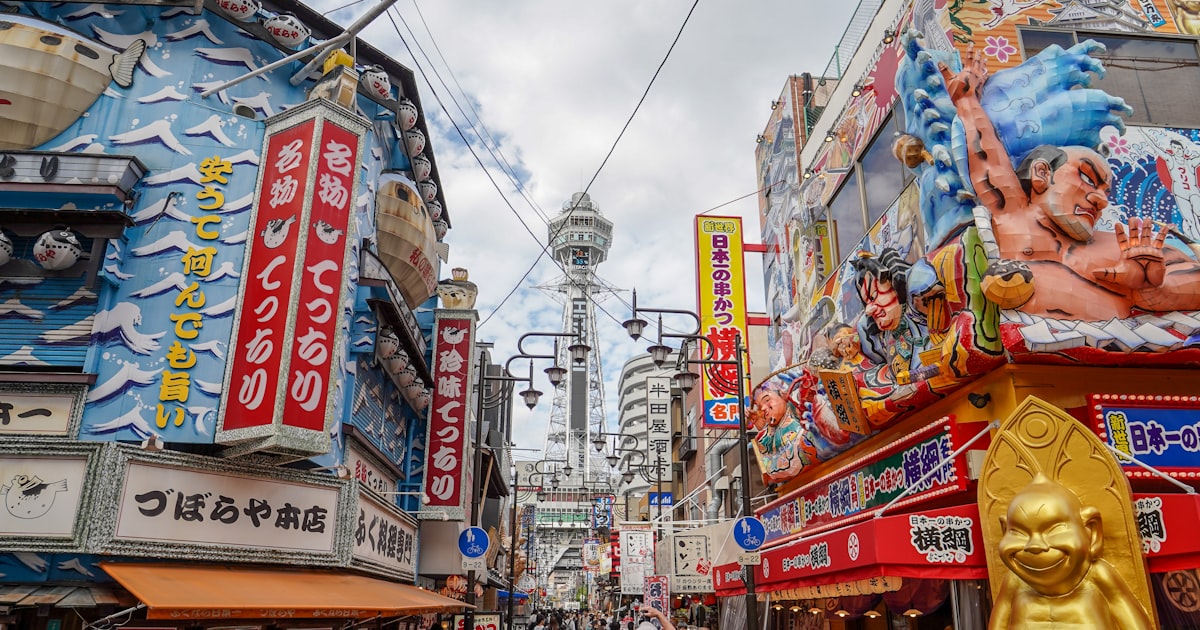
🌉 Dotonbori · Namba (道頓堀·なんば)
The most visited area in Osaka — and one of the most dangerous during a Nankai Trough event.
Why it is high risk:
- The Dotonbori and Sozenji canals run through low-lying ground. During a tsunami, canals act as channels that carry floodwater deep inland
- The pedestrian street in front of the Glico sign has limited escape routes
- The area connects directly to Namba Walk underground mall — if the underground floods, exits become impassable
What to do:
- Strong shaking → move inside a building and wait for shaking to stabilise
- Tsunami warning issued → head east or northeast toward inland high ground (not south)
- Do not go into the underground mall — flooding makes escape impossible
- Target evacuation destinations: Tennoji, Uehonmachi, or Osaka Castle direction
🏯 Osaka Castle (大阪城)
One of Osaka's safest high-ground locations. Osaka Castle Park sits approximately 20–30 m above sea level and is outside the tsunami inundation zone in Osaka Prefecture simulations.
- During shaking: if inside the castle tower (older wooden structure), move to the exit immediately
- During a tsunami warning: you can stay or move to higher ground within the park — there is no need to run
- Osaka Castle Park is officially designated as a wide-area tsunami evacuation site
🎡 Universal Studios Japan · Osaka Bay coast
USJ is built on reclaimed land on Osaka Bay. Tsunami risk zone.
- Strong shaking → follow park PA announcements immediately (USJ has its own emergency response protocol)
- Tsunami warning → move vertically into a high-floor reinforced concrete building on-site, or walk inland
- Roads near USJ may become congested — be prepared to move on foot
🛍️ Shinsaibashi · Shinsaibashisuji (心斎橋·心斎橋筋)
Shopping district adjacent to Dotonbori. Connected below ground to the Shinsaibashisuji underground arcade.
- At the first sign of shaking: exit the underground arcade via the nearest staircase to street level
- Watch for falling goods and glass in the narrow arcade
- Once on Midosuji Boulevard above ground, move to the centre of the wide road
🌆 Umeda · Grand Front · Hep Five (梅田)
Northern Osaka — higher ground than Dotonbori, lower tsunami risk. The problem here is station congestion.
- Osaka/Umeda station area can strand hundreds of thousands of people after a major quake
- Do not attempt to immediately return to your hotel — wait at the station for service-resumption updates
- Grand Front, Hep Five, and other large malls offer temporary shelter during emergencies
🗼 Abeno Harukas (あべのハルカス — 300 m)
Japan's second-tallest building (300 m). The extreme height makes shaking feel dramatic, but the building is engineered with seismic isolation and is structurally safe.
- In the observation deck (58–60F): grip the railing, crouch low, wait for shaking to stop
- Do not use elevators — they lock automatically during earthquakes; wait for staff guidance
- Tennoji district is on high ground — low tsunami risk for this area
Osaka's underground shopping network — the biggest risk no one talks about
Osaka has one of the world's most extensive underground shopping networks: Namba Walk, Crystal Nagahori, Diamor Osaka, and others spanning tens of kilometres. This is far larger than Tokyo's underground system.
If an earthquake strikes while you are underground:
- Stop immediately and crouch low — ceiling fixtures and signage can fall
- When shaking eases, move to the nearest emergency exit → street level
- Even with no PA announcement, getting above ground is the priority — fire and pipe ruptures make underground spaces dangerous
- Once above ground, do not go back underground
Emergency exit signs (非常口) show a green running figure. Make a habit of noting the nearest exit whenever you enter an underground shopping area — before you need it.
Official resources for Osaka
- Osaka City Disaster Prevention App (
大阪市防災アプリ) — free; shows expected tsunami inundation zones, nearest shelter, and emergency alerts. Available for iOS and Android; interface has English support - Osaka Prefecture Tsunami Hazard Map — enter your accommodation address at pref.osaka.lg.jp/kikikanri/tsunami/ to check expected flood depth
- JR West train status — westjr.co.jp
- JNTO Tourist Helpline — 050-3816-2787 (24/7, multilingual English support)
- Your embassy or consulate in Osaka — save the emergency number before your trip
30-second pre-trip checklist
- Check your accommodation on the Osaka Prefecture hazard map — is it in the tsunami inundation zone?
- Identify the nearest wide-area evacuation site from your hotel (Osaka Castle Park, Tennoji Park, or other high-ground public spaces)
- Download the Osaka City Disaster Prevention App and enable alerts
- Save your country's emergency consular contact number before arriving
Related guides